
Loading...
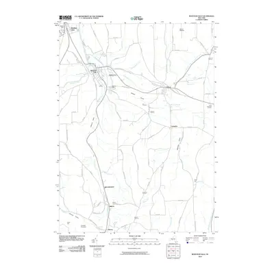
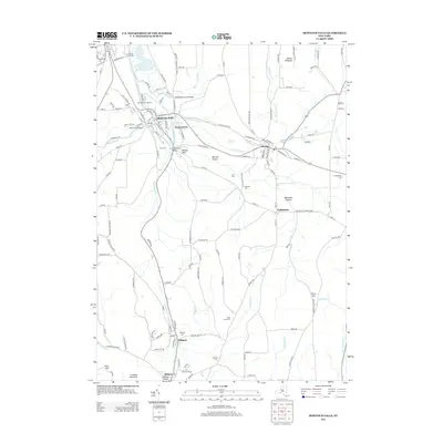
Loading map...2023 Map of Montour Falls
USGS Topo · Published 2023About this map
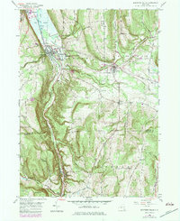
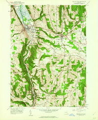
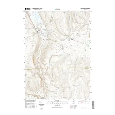
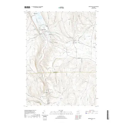
Watkins Glen and Montour Falls sit at the northern edge of this Schuyler County landscape, where the valley floor transitions from the Bad Indian Swamp into a complex network of glacial hollows and steep ridges. The drainage of Catharine Creek and its associated Diversion Channel define the lowlands, while the surrounding heights are marked by distinctive landmarks like Foots Hill and Terry Hill.
Find a feature on this map
126 named features on this map. Tap any name to fly to it.
Don’t see what you’re looking for? This feature index may not catch every label — zoom into the map to look around manually.
Map Details
Date Portrayed2023
Date Published2023
PublisherU.S. Geological Survey
Map TypeTopographic
Scale1:24,000
Physical Dimensions24 x 29 inches
Editions of this 2023 Montour Falls Map
This is the sole edition of this map. No revisions or reprints were ever made.
Historical Maps of Dix Through Time
7 maps found
Featured Locations
Source Details
SourceU.S. Geological Survey
CopyrightPublic Domain