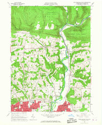
1965 Map of Montoursville North
USGS Topo · Published 1967About this map
Loyalsock Creek carves a deep valley through this mid-1960s landscape, separating the high elevations of Blessing Mountain and Allegheny Ridge from the growing suburban fringes of northern Williamsport. The transition from the heavily wooded Tiadaghton State Forest in the north to the more developed southern townships is clear, marked by a network of rural schools and churches like Loyalsock Valley Sch and Mt Zion Ch.
Find a feature on this map
61 named features on this map. Tap any name to fly to it.
Don’t see what you’re looking for? This feature index may not catch every label — zoom into the map to look around manually.
Map Details
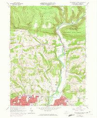
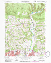
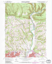
Editions of this 1965 Montoursville North Map
4 editions found
Other maps of this area

1921 · Williamsport
USGS Topo · 1:48,000

1921 · Trout Run
USGS Topo · 1:62,500

1923 · Trout Run
USGS Topo · 1:62,500

1923 · Williamsport
USGS Topo · 1:62,500

1924 · Milton
USGS Topo · 1:62,500

1930 · Warrensville
USGS Topo · 1:62,500

1934 · Warrensville
USGS Topo · 1:62,500

1944 · Trout Run
USGS Topo · 1:62,500

1944 · Williamsport
USGS Topo · 1:62,500

1953 · Warrensville
USGS Topo · 1:62,500
Featured Places
- Williamsport, PA
- Faxon, Loyalsock Township
- Butternut Grove, Gamble Township
- North Eldred, Eldred Township
- Penn Vale, Loyalsock Township