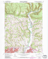
1965 Map of Montoursville North
USGS Topo · Published 1986About this map
Loyalsock State Game Farm and the winding Loyalsock Creek dominate the central valley of this 1960s landscape, illustrating a specialized land use within the broader Tiadaghton State Forest. The map captures the suburban expansion of Williamsport northward into the Grampian Hills and eastern reaches of Faxon and Kenmar, where modern institutions like Divine Providence Hospital and the School for Mentally Retarded appear alongside older family landmarks.
Find a feature on this map
67 named features on this map. Tap any name to fly to it.
Don’t see what you’re looking for? This feature index may not catch every label — zoom into the map to look around manually.
Map Details
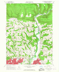
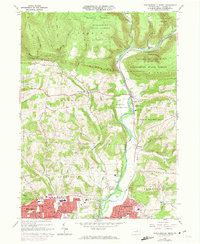
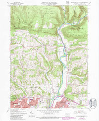
Editions of this 1965 Montoursville North Map
4 editions found
Other maps of this area

1921 · Williamsport
USGS Topo · 1:48,000

1921 · Trout Run
USGS Topo · 1:62,500

1923 · Trout Run
USGS Topo · 1:62,500

1923 · Williamsport
USGS Topo · 1:62,500

1924 · Milton
USGS Topo · 1:62,500

1930 · Warrensville
USGS Topo · 1:62,500

1934 · Warrensville
USGS Topo · 1:62,500

1944 · Trout Run
USGS Topo · 1:62,500

1944 · Williamsport
USGS Topo · 1:62,500

1953 · Warrensville
USGS Topo · 1:62,500
Featured Places
- Williamsport, PA
- Faxon, Loyalsock Township
- Butternut Grove, Gamble Township
- North Eldred, Eldred Township
- Penn Vale, Loyalsock Township