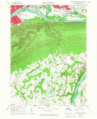
1965 Map of Montoursville South
USGS Topo · Published 1967About this map
Bald Eagle Mountain and the North White Deer Ridge dominate this mid-century landscape, separating the industrial bustle of the West Branch Susquehanna River valley from the institutional and agricultural lands to the south. Along the northern riverbank, the towns of Williamsport, South Williamsport, and Montoursville show a dense mid-1960s footprint including the Williamsport-Lycoming County Airport and the Reading railroad lines.
Find a feature on this map
61 named features on this map. Tap any name to fly to it.
Don’t see what you’re looking for? This feature index may not catch every label — zoom into the map to look around manually.
Map Details
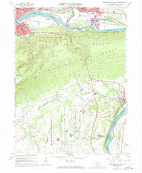
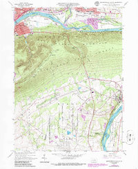
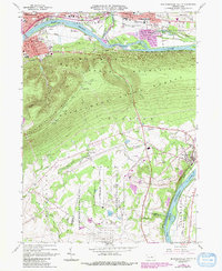
Editions of this 1965 Montoursville South Map
4 editions found
Other maps of this area

1921 · Williamsport
USGS Topo · 1:48,000

1921 · Trout Run
USGS Topo · 1:62,500

1923 · Trout Run
USGS Topo · 1:62,500

1923 · Williamsport
USGS Topo · 1:62,500

1924 · Milton
USGS Topo · 1:62,500

1930 · Warrensville
USGS Topo · 1:62,500

1934 · Warrensville
USGS Topo · 1:62,500

1944 · Trout Run
USGS Topo · 1:62,500

1944 · Williamsport
USGS Topo · 1:62,500

1953 · Warrensville
USGS Topo · 1:62,500