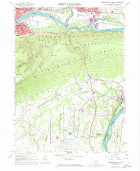
1965 Map of Montoursville South
USGS Topo · Published 1974About this map
The West Branch Susquehanna River cuts through this landscape, separating the residential and industrial centers of Williamsport, South Williamsport, and Montoursville from the steep wooded slopes of Bald Eagle Mountain. In the mid-1960s, the valley floor supported a complex infrastructure including the Williamsport-Lycoming County Airport and the expansive Allenwood Prison Camp. The rail network of the Reading and Penn Central lines follows the river's path, tracing the industrial heart of Lycoming County.
Find a feature on this map
57 named features on this map. Tap any name to fly to it.
Don’t see what you’re looking for? This feature index may not catch every label — zoom into the map to look around manually.
Map Details
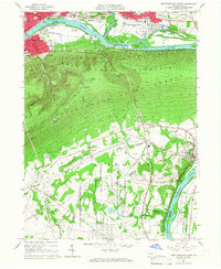
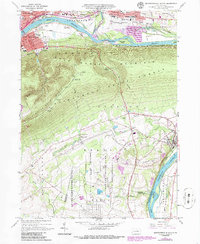
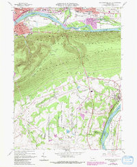
Editions of this 1965 Montoursville South Map
4 editions found
Other maps of this area

1921 · Williamsport
USGS Topo · 1:48,000

1921 · Trout Run
USGS Topo · 1:62,500

1923 · Trout Run
USGS Topo · 1:62,500

1923 · Williamsport
USGS Topo · 1:62,500

1924 · Milton
USGS Topo · 1:62,500

1930 · Warrensville
USGS Topo · 1:62,500

1934 · Warrensville
USGS Topo · 1:62,500

1944 · Trout Run
USGS Topo · 1:62,500

1944 · Williamsport
USGS Topo · 1:62,500

1953 · Warrensville
USGS Topo · 1:62,500