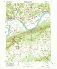
1965 Map of Linden
USGS Topo · Published 1973About this map
Bald Eagle Mountain creates a dramatic divide through this 1960s landscape, separating the industrial and transit corridor of the West Branch Susquehanna River from the agricultural Nippenose Valley. Along the northern river bank, the Penn Central railroad services riverside settlements like Linden and Antes Fort, while Crane Island and Long Island break the river's flow.
Find a feature on this map
51 named features on this map. Tap any name to fly to it.
Don’t see what you’re looking for? This feature index may not catch every label — zoom into the map to look around manually.
Map Details
Editions of this 1965 Linden Map
2 editions found
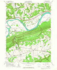
Other maps of this area

1921 · Williamsport
USGS Topo · 1:48,000

1921 · Trout Run
USGS Topo · 1:62,500

1921 · Lock Haven
USGS Topo · 1:62,500

1923 · Lock Haven
USGS Topo · 1:62,500

1923 · Trout Run
USGS Topo · 1:62,500

1923 · Williamsport
USGS Topo · 1:62,500

1935 · Waterville
USGS Topo · 1:24,000

1937 · Waterville
USGS Topo · 1:48,000

1943 · Waterville
USGS Topo · 1:62,500

1944 · Trout Run
USGS Topo · 1:62,500
Featured Places
- Bastress Township, PA
- Woodward Township, PA
- Mifflin Township, PA
- Limestone Township, PA
- Piatt Township, PA