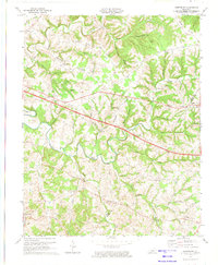
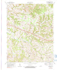
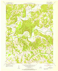
1973 Map of Montpelier
USGS Topo · Published 1974About this map
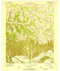
Russell Creek and its many winding tributaries like Big Clifty Creek and Cripple Creek define the geography of this Adair and Russell County borderland. Recorded in 1973, the landscape is marked by a network of ridges, including Concord Ridge and Freedom Ridge, which historically dictated the placement of small rural settlements and homesteads. The map illustrates a community-centered life organized around country houses of worship such as New Concord Ch, Shiloh Ch, and Pleasant View Ch.
Find a feature on this map
52 named features on this map. Tap any name to fly to it.
Don’t see what you’re looking for? This feature index may not catch every label — zoom into the map to look around manually.
Map Details
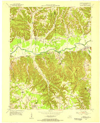
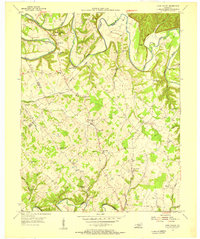
Editions of this 1973 Montpelier Map
2 editions found
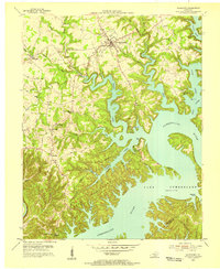
Other maps of this area
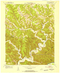
1953 · Amandaville
USGS Topo · 1:24,000
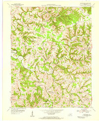
1953 · Montpelier
USGS Topo · 1:24,000
1953 · Creelsboro
USGS Topo · 1:24,000
1953 · Jamestown
USGS Topo · 1:24,000
1953 · Dunnville
USGS Topo · 1:24,000
1953 · Cane Valley
USGS Topo · 1:24,000
1954 · Knifley
USGS Topo · 1:24,000
1954 · Columbia
USGS Topo · 1:24,000

1954 · Russell Springs
USGS Topo · 1:24,000

1956 · Corbin
USGS Topo · 1:250,000