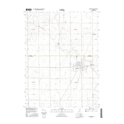
2016 Map of Montpelier
USGS Topo · Published 2016About this map
Montpelier and the surrounding borderlands of Wells and Blackford counties are defined by a complex network of agricultural drainage ditches that feed into the Salamonie River. This 2016 survey captures the precise modern footprint of rural communities like Matamoras and Keystone, alongside numerous family and fraternal burial grounds that anchor the local genealogy. To the north and west, the landscape is etched with historical water management features such as the Carnes-New-Clark Ditch and Gary Stotts Drain, which reflect generations of efforts to reclaim the wet prairie for cultivation. The settlement pattern remains largely centered on traditional crossroads, including Five Points and Jeff, where long-standing roads intersect the grid of county lines. Researchers can trace the proximity of these early settlements to landmarks like Odd Fellows Cem and Woodlawn Cem, illustrating the development of this eastern Indiana farming region through the early 21st century.
Find a feature on this map
99 named features on this map. Tap any name to fly to it.
Don’t see what you’re looking for? This feature index may not catch every label — zoom into the map to look around manually.
Map Details
Editions of this 2016 Montpelier Map
This is the sole edition of this map. No revisions or reprints were ever made.
Other maps of this area

1950 · Warren
USGS Topo · 1:24,000

1952 · Warren
USGS Topo · 1:24,000

1953 · Muncie
USGS Topo · 1:250,000

1956 · Muncie
USGS Topo · 1:250,000

1960 · Pennville
USGS Topo · 1:24,000

1960 · Hartford City East
USGS Topo · 1:24,000

1960 · Hartford City West
USGS Topo · 1:24,000

1962 · Montpelier
USGS Topo · 1:24,000

1962 · Liberty Center
USGS Topo · 1:24,000

1962 · Roll
USGS Topo · 1:24,000