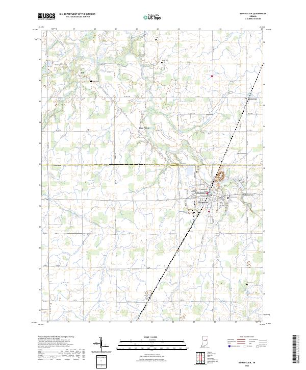
2022 Map of Montpelier
USGS Topo · Published 2022About this map
Montpelier serves as the primary urban center for this Blackford County landscape, situated along the winding path of the Salamonie River. The town's grid is dense with residential streets such as W Henderson St and W Huntington St, leading toward local landmarks like the Odd Fellows Cem and Woodlawn Cem. To the east, the settlement of Matamoras sits near Lake Blue Water, marking a transition from the town center to the surrounding agricultural fields.
Find a feature on this map
100 named features on this map. Tap any name to fly to it.
Don’t see what you’re looking for? This feature index may not catch every label — zoom into the map to look around manually.
Map Details
Editions of this 2022 Montpelier Map
This is the sole edition of this map. No revisions or reprints were ever made.
Other maps of this area

1950 · Warren
USGS Topo · 1:24,000

1952 · Warren
USGS Topo · 1:24,000

1953 · Muncie
USGS Topo · 1:250,000

1956 · Muncie
USGS Topo · 1:250,000

1960 · Pennville
USGS Topo · 1:24,000

1960 · Hartford City East
USGS Topo · 1:24,000

1960 · Hartford City West
USGS Topo · 1:24,000

1962 · Montpelier
USGS Topo · 1:24,000

1962 · Liberty Center
USGS Topo · 1:24,000

1962 · Roll
USGS Topo · 1:24,000