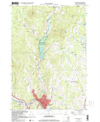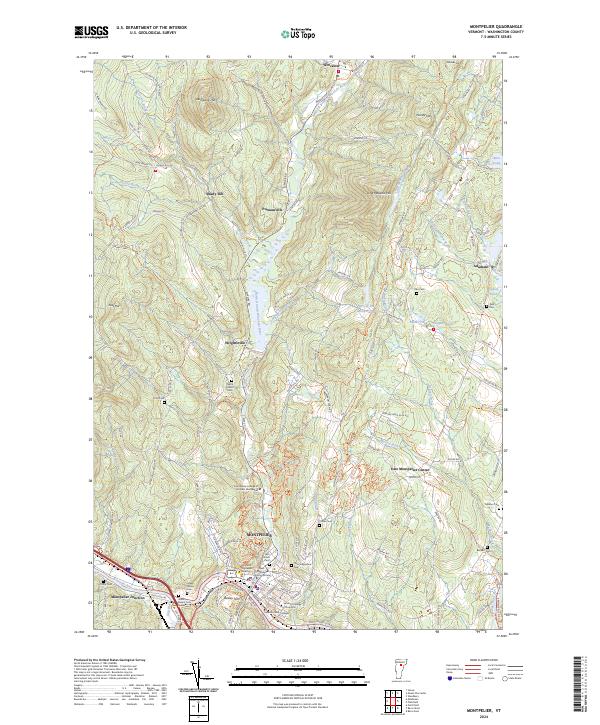
2024 Map of Montpelier
USGS Topo · Published 2024About this map
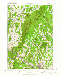
Montpelier serves as the focal point of this Vermont landscape, where the confluence of the Winooski River and the North Branch Winooski River has historically shaped the capital's development. The city’s institutional character is clearly defined by landmarks such as the Vermont Supreme Court and educational centers like the Vermont College of Fine Arts. Outside the urban center, the terrain is marked by smaller settlements like Shady Rill and Putnamville, alongside numerous family and community burial grounds including Tinkham Cem and the Green Mount Cem Soldiers Lot. The mapping of small water bodies like Horn of the Moon Pond and Sodom Pond reflects a rugged geography that dictated the winding paths of roads like Molly Supple Hill Rd and Government Hill Rd. This survey highlights the spatial relationship between the state's civic heart and the outlying granite-producing hamlets like Adamant, documenting a region defined by its rivers and upland ridges.
Find a feature on this map
128 named features on this map. Tap any name to fly to it.
Don’t see what you’re looking for? This feature index may not catch every label — zoom into the map to look around manually.
Map Details
Editions of this 2024 Montpelier Map
This is the sole edition of this map. No revisions or reprints were ever made.
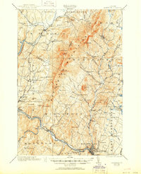
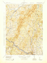
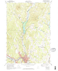
Historical Maps of East Montpelier Center Through Time
7 maps found