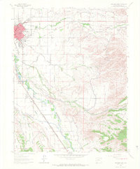
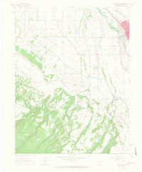
1962 Map of Montrose East
USGS Topo · Published 1966About this map
The Uncompahgre River defines the western edge of this valley landscape, serving as the corridor for the Denver and Rio Grande Western RR and the primary water source for a complex irrigation system. The growing city of Montrose is shown with its mid-century street grid, featuring the Morgan Sch, St Marys Sch, and a dedicated Fairground at its northern limits.
Find a feature on this map
41 named features on this map. Tap any name to fly to it.
Don’t see what you’re looking for? This feature index may not catch every label — zoom into the map to look around manually.
Map Details
Editions of this 1962 Montrose East Map
4 editions found
Other maps of this area

1909 · Montrose
USGS Topo · 1:125,000

1911 · Montrose
USGS Topo · 1:125,000

1955 · Olathe
USGS Topo · 1:24,000

1955 · Red Rock Canyon
USGS Topo · 1:24,000

1956 · Montrose
USGS Topo · 1:250,000

1957 · Cerro Summit
USGS Topo · 1:24,000

1957 · Grizzly Ridge
USGS Topo · 1:24,000

1959 · Montrose
USGS Topo · 1:250,000

1960 · Montrose
USGS Topo · 1:250,000
1962 · Montrose West
USGS Topo · 1:24,000