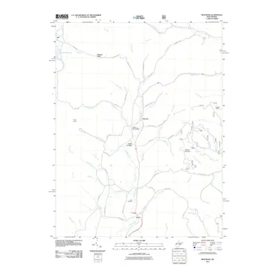
2011 Map of Montrose
USGS Topo · Published 2011About this map
Leading Creek flows through the center of this rural Randolph County landscape, anchoring several small communities during the early 21st century. The town of Montrose serves as a primary hub, situated near the Leading Creek Primitive Baptist Cemetery and several winding routes like County Hwy-1. Farther south, Smith Crossing and Kerens mark the transition toward the local recreation and commerce centers, including the Elkins Speedway and the Kerens Post Office.
Find a feature on this map
64 named features on this map. Tap any name to fly to it.
Don’t see what you’re looking for? This feature index may not catch every label — zoom into the map to look around manually.
Map Details
Editions of this 2011 Montrose Map
This is the sole edition of this map. No revisions or reprints were ever made.
Other maps of this area

1886 · St. George
USGS Topo · 1:125,000

1889 · Beverly
USGS Topo · 1:125,000

1891 · St. George
USGS Topo · 1:125,000

1892 · Beverly
USGS Topo · 1:125,000

1907 · Belington
USGS Topo · 1:62,500

1908 · Parsons
USGS Topo · 1:62,500

1909 · Elkins
USGS Topo · 1:62,500

1922 · Horton
USGS Topo · 1:48,000

1924 · Horton
USGS Topo · 1:62,500

1926 · Parsons
USGS Topo · 1:62,500