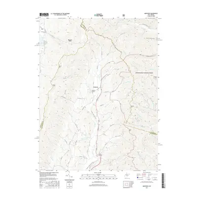
2016 Map of Montrose
USGS Topo · Published 2016About this map
Leading Creek flows through a deep valley between Laurel Mountain and Pleasant Mountain, anchoring a landscape defined by sharp ridges and narrow hollows. In the center of this terrain lies Montrose, where the Leading Creek Primitive Baptist Cemetery stands as a local landmark. Further south, the settlement of Kerens is situated near the intersection of several county routes and the Allegheny Highlands Rail-Trail, which follows the old rail corridor through the heart of the valley. To the west, Thorn Knob and Bryan Hamilton Spring highlight the upland drainage patterns feeding into Teter Creek. The eastern portion of the map is dominated by the Monongahela National Forest, reaching up to the high crests of Cheat Mountain and Polecat Knob. This survey captures the transition from valley agriculture and small settlements like Pleasure Valley to the protected wilderness of the higher elevations.
Find a feature on this map
75 named features on this map. Tap any name to fly to it.
Don’t see what you’re looking for? This feature index may not catch every label — zoom into the map to look around manually.
Map Details
Editions of this 2016 Montrose Map
This is the sole edition of this map. No revisions or reprints were ever made.
Other maps of this area

1886 · St. George
USGS Topo · 1:125,000

1889 · Beverly
USGS Topo · 1:125,000

1891 · St. George
USGS Topo · 1:125,000

1892 · Beverly
USGS Topo · 1:125,000

1907 · Belington
USGS Topo · 1:62,500

1908 · Parsons
USGS Topo · 1:62,500

1909 · Elkins
USGS Topo · 1:62,500

1922 · Horton
USGS Topo · 1:48,000

1924 · Horton
USGS Topo · 1:62,500

1926 · Parsons
USGS Topo · 1:62,500