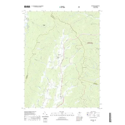
2019 Map of Montrose
USGS Topo · Published 2019About this map
Montrose and Kerens anchor this study of the north-central West Virginia Highlands, where the land transitions from high ridges into the valley of Leading Cr. The map details the local infrastructure near the edge of the Monongahela National Forest, including the Leading Creek Primitive Baptist Cem and rural settlements like Kirt and Pleasure Valley. The terrain is defined by prominent elevations such as Laurel Mtn, Cheat Mtn, and Pheasant Mtn, which frame the many narrow runs and licks that feed the larger waterways. Modern recreational use is represented by the American Discovery Trail and the Pheasant Mountain Trail, which traverse the high ground near Haddix Run. The network of county roads, such as Co Rte 26 and Salt Lick Rd, reveals a settlement pattern dictated by the steep topography and the traditional paths through the gaps.
Find a feature on this map
73 named features on this map. Tap any name to fly to it.
Don’t see what you’re looking for? This feature index may not catch every label — zoom into the map to look around manually.
Map Details
Editions of this 2019 Montrose Map
This is the sole edition of this map. No revisions or reprints were ever made.
Other maps of this area

1886 · St. George
USGS Topo · 1:125,000

1889 · Beverly
USGS Topo · 1:125,000

1891 · St. George
USGS Topo · 1:125,000

1892 · Beverly
USGS Topo · 1:125,000

1907 · Belington
USGS Topo · 1:62,500

1908 · Parsons
USGS Topo · 1:62,500

1909 · Elkins
USGS Topo · 1:62,500

1922 · Horton
USGS Topo · 1:48,000

1924 · Horton
USGS Topo · 1:62,500

1926 · Parsons
USGS Topo · 1:62,500