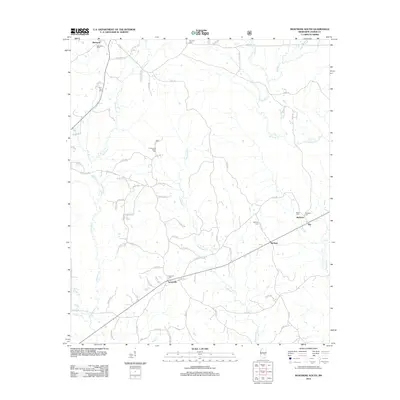
2012 Map of Montrose South
USGS Topo · Published 2012About this map
The community of Turnerville sits near the intersection of several rural routes in Jasper County, serving as a focal point for the surrounding agricultural landscape. This 2012 survey illustrates a region defined by its dispersed settlements and numerous small burial grounds, including Antioch Cem and the Community Center Cem. The drainage pattern is led by the southward flow of Tallahoma Cr and Nuakfuppa Cr, which wind through the timberlands and fields that dominate the area.
Find a feature on this map
64 named features on this map. Tap any name to fly to it.
Don’t see what you’re looking for? This feature index may not catch every label — zoom into the map to look around manually.
Map Details
Editions of this 2012 Montrose South Map
This is the sole edition of this map. No revisions or reprints were ever made.
Other maps of this area

1953 · Hattiesburg
USGS Topo · 1:250,000

1953 · Meridian
USGS Topo · 1:250,000

1957 · Meridian
USGS Topo · 1:250,000

1958 · Hattiesburg
USGS Topo · 1:250,000

1963 · Waldrup
USGS Topo · 1:24,000

1964 · Lake Como
USGS Topo · 1:24,000

1965 · Meridian
USGS Topo · 1:250,000

1968 · Clear Springs
USGS Topo · 1:24,000

1968 · Louin
USGS Topo · 1:24,000

1970 · Paulding
USGS Topo · 1:24,000