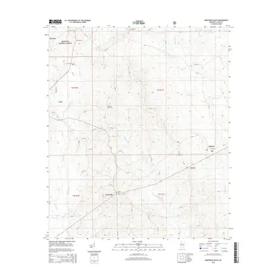
2015 Map of Montrose South
USGS Topo · Published 2015About this map
The northern reaches of the Bienville National Forest dominate this section of Jasper County, where the landscape is defined by the headwaters of several prominent regional streams. The topography is shaped by the winding courses of Tallahoma Creek and Nuakfuppa Creek, creating a complex network of drainage basins that influenced the placement of early settlements. Small communities like Louin and Montrose are situated near these watercourses, while Turnerville and McNeal mark the transition toward more open country. A high density of rural burial grounds, including the Antioch Cem, McCarty Cem, and Saint Paul Cem, provides a detailed record of the families who settled this timbered region. The distribution of these cemeteries alongside the creek bottoms suggests a long history of small-scale agriculture and forest-based industry that persists alongside modern road corridors like Grayson Rd and W Main St.
Find a feature on this map
67 named features on this map. Tap any name to fly to it.
Don’t see what you’re looking for? This feature index may not catch every label — zoom into the map to look around manually.
Map Details
Editions of this 2015 Montrose South Map
This is the sole edition of this map. No revisions or reprints were ever made.
Other maps of this area

1953 · Hattiesburg
USGS Topo · 1:250,000

1953 · Meridian
USGS Topo · 1:250,000

1957 · Meridian
USGS Topo · 1:250,000

1958 · Hattiesburg
USGS Topo · 1:250,000

1963 · Waldrup
USGS Topo · 1:24,000

1964 · Lake Como
USGS Topo · 1:24,000

1965 · Meridian
USGS Topo · 1:250,000

1968 · Clear Springs
USGS Topo · 1:24,000

1968 · Louin
USGS Topo · 1:24,000

1970 · Paulding
USGS Topo · 1:24,000