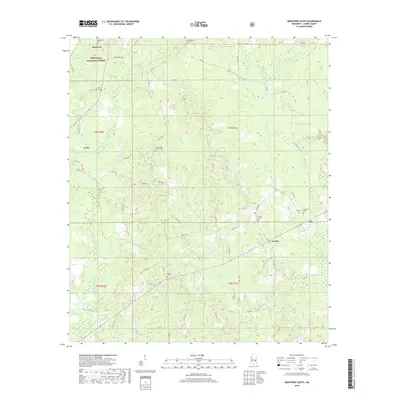
2018 Map of Montrose South
USGS Topo · Published 2018About this map
Montrose and Louin anchor the northwestern portion of this Jasper County landscape, where the wooded expanses of the Bienville National Forest meet a complex network of rural county roads. The terrain is defined by a dense hydrological system, with Tallahala Creek and Nuakfuppa Creek cutting through the center of the quadrangle. For those researching local family history, the map is remarkably dense with burial sites, including the Montrose Cemetery, Saint Paul Cemetery, and the isolated Mulberry Cemetery near the settlement of Ras. Small rural clusters like McNeal are linked by a grid of thoroughfares such as Co Rd 29 and Co Rd 16, illustrating a persistent pattern of rural habitation and land division in this part of Mississippi.
Find a feature on this map
55 named features on this map. Tap any name to fly to it.
Don’t see what you’re looking for? This feature index may not catch every label — zoom into the map to look around manually.
Map Details
Editions of this 2018 Montrose South Map
This is the sole edition of this map. No revisions or reprints were ever made.
Other maps of this area

1953 · Hattiesburg
USGS Topo · 1:250,000

1953 · Meridian
USGS Topo · 1:250,000

1957 · Meridian
USGS Topo · 1:250,000

1958 · Hattiesburg
USGS Topo · 1:250,000

1963 · Waldrup
USGS Topo · 1:24,000

1964 · Lake Como
USGS Topo · 1:24,000

1965 · Meridian
USGS Topo · 1:250,000

1968 · Clear Springs
USGS Topo · 1:24,000

1968 · Louin
USGS Topo · 1:24,000

1970 · Paulding
USGS Topo · 1:24,000