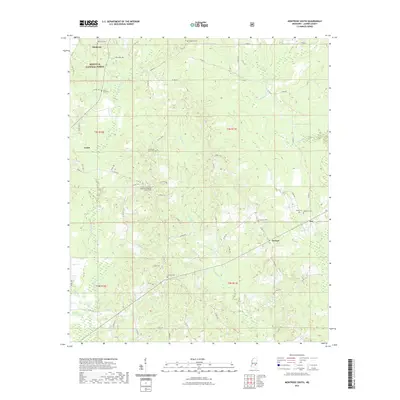
2021 Map of Montrose South
USGS Topo · Published 2021About this map
The Bienville National Forest blankets the northern portion of this Jasper County landscape, where the headwaters of Tallahala Cr and Nuakfuppa Cr carve through the terrain. The map captures a detailed view of several small communities and junctions, including Louin, Montrose, McNeal, and Ras, connected by a network of county roads. Genealogy interests are well-served by numerous recorded burial sites, such as the Community Center Missionary Baptist Church Cem, Antioch Cem, and Palestine Cem. The southern reach of the survey is defined by the winding paths of Piney Cr and Stringer Br. This 2021 update documents the modern road system, including Co RD 16 and Co RD 29, while preserving the locations of longtime local landmarks and family-named cemeteries that define the rural character of this region.
Find a feature on this map
59 named features on this map. Tap any name to fly to it.
Don’t see what you’re looking for? This feature index may not catch every label — zoom into the map to look around manually.
Map Details
Editions of this 2021 Montrose South Map
This is the sole edition of this map. No revisions or reprints were ever made.
Other maps of this area

1953 · Hattiesburg
USGS Topo · 1:250,000

1953 · Meridian
USGS Topo · 1:250,000

1957 · Meridian
USGS Topo · 1:250,000

1958 · Hattiesburg
USGS Topo · 1:250,000

1963 · Waldrup
USGS Topo · 1:24,000

1964 · Lake Como
USGS Topo · 1:24,000

1965 · Meridian
USGS Topo · 1:250,000

1968 · Clear Springs
USGS Topo · 1:24,000

1968 · Louin
USGS Topo · 1:24,000

1970 · Paulding
USGS Topo · 1:24,000