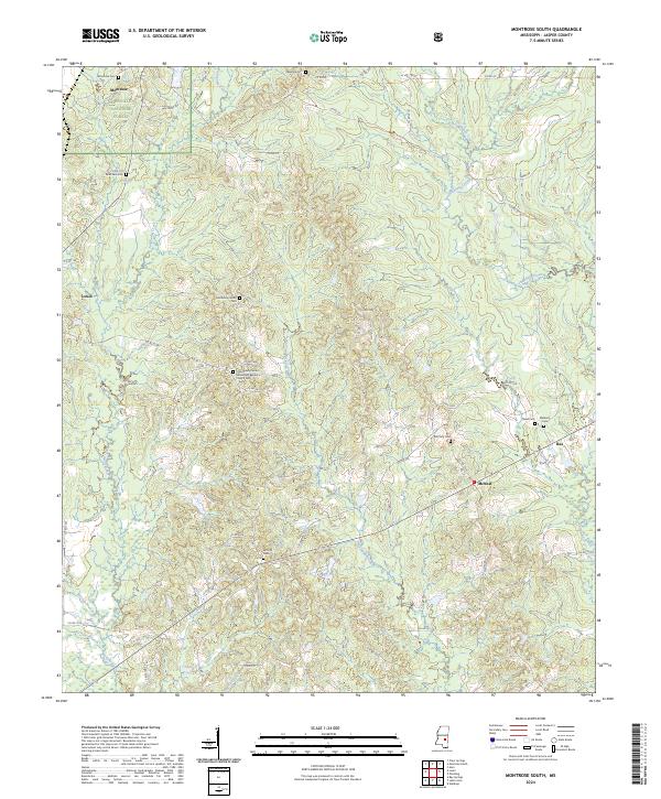
2024 Map of Montrose South
USGS Topo · Published 2024About this map
Bienville National Forest encompasses the northern portion of this landscape, where the headwaters of Tallahala Creek and Thompson Creek begin their winding south-ward courses. The map documents a predominantly rural network of county roads connecting small settlements and numerous family and community burial grounds. This distribution of sites, such as the Community Center Missionary Baptist Church Cem and the McCarty Cem, suggests a long-standing pattern of dispersed agricultural homesteads and local congregations.
Find a feature on this map
59 named features on this map. Tap any name to fly to it.
Don’t see what you’re looking for? This feature index may not catch every label — zoom into the map to look around manually.
Map Details
Editions of this 2024 Montrose South Map
This is the sole edition of this map. No revisions or reprints were ever made.
Other maps of this area

1953 · Hattiesburg
USGS Topo · 1:250,000

1953 · Meridian
USGS Topo · 1:250,000

1957 · Meridian
USGS Topo · 1:250,000

1958 · Hattiesburg
USGS Topo · 1:250,000

1963 · Waldrup
USGS Topo · 1:24,000

1964 · Lake Como
USGS Topo · 1:24,000

1965 · Meridian
USGS Topo · 1:250,000

1968 · Clear Springs
USGS Topo · 1:24,000

1968 · Louin
USGS Topo · 1:24,000

1970 · Paulding
USGS Topo · 1:24,000