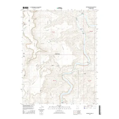
2017 Map of Monument Basin
USGS Topo · Published 2017About this map
Canyonlands National Park dominates this terrain where the high desert plateau breaks into a complex of canyons and spires. The landscape is defined by the winding course of the Colorado River, which carves through deeply incised features like Meander Canyon and Buck Canyon. This 2017 survey details the dramatic transition from the high Murphy Range and Murphy Hogback down to the White Rim, a prominent sandstone bench that supports the long-distance White Rim Road. Geologic landmarks such as The Totem Pole and Guillotine Arch stand as isolated sentinels within Monument Basin, while numerous side drainages like Gooseberry Canyon and Rustler Canyon feed into the river system. The map also traces established backcountry routes including the Grandview Point Trail and Murphy Overlook Trail, providing a clear record of the area's modern recreational infrastructure and protected natural borders.
Find a feature on this map
31 named features on this map. Tap any name to fly to it.
Don’t see what you’re looking for? This feature index may not catch every label — zoom into the map to look around manually.
Map Details
Editions of this 2017 Monument Basin Map
This is the sole edition of this map. No revisions or reprints were ever made.
Other maps of this area

1885 · La Sal
USGS Topo · 1:250,000

1951 · Upheaval Dome
USGS Topo · 1:62,500

1952 · Carlisle 2 SE
USGS Topo · 1:24,000

1952 · Carlisle 2 NW
USGS Topo · 1:24,000

1952 · Carlisle 2 NE
USGS Topo · 1:24,000

1952 · Carlisle 2 SW
USGS Topo · 1:24,000

1953 · Carlisle 3 NW
USGS Topo · 1:24,000

1953 · The Needles
USGS Topo · 1:62,500

1954 · Carlisle 4 NW
USGS Topo · 1:24,000

1954 · Carlisle 1 NW
USGS Topo · 1:24,000