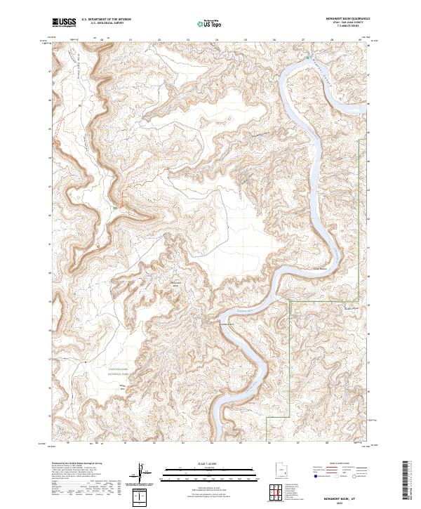
2023 Map of Monument Basin
USGS Topo · Published 2023About this map
Canyonlands National Park dominates this high-plateau landscape, where the carving action of the Colorado River has created a complex network of canyons and terraces. The map details the dramatic descent from Grand View Point down to the White Rim, a prominent sandstone bench that overlooks the deeply eroded Monument Basin. This area illustrates the classic river-cut topography of the region, featuring sharp meanders and isolated landforms like Guillotine Arch.
Find a feature on this map
18 named features on this map. Tap any name to fly to it.
Don’t see what you’re looking for? This feature index may not catch every label — zoom into the map to look around manually.
Map Details
Editions of this 2023 Monument Basin Map
This is the sole edition of this map. No revisions or reprints were ever made.
Other maps of this area

1885 · La Sal
USGS Topo · 1:250,000

1951 · Upheaval Dome
USGS Topo · 1:62,500

1952 · Carlisle 2 SE
USGS Topo · 1:24,000

1952 · Carlisle 2 NW
USGS Topo · 1:24,000

1952 · Carlisle 2 NE
USGS Topo · 1:24,000

1952 · Carlisle 2 SW
USGS Topo · 1:24,000

1953 · Carlisle 3 NW
USGS Topo · 1:24,000

1953 · The Needles
USGS Topo · 1:62,500

1954 · Carlisle 4 NW
USGS Topo · 1:24,000

1954 · Carlisle 1 NW
USGS Topo · 1:24,000