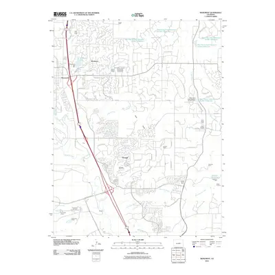
2010 Map of Monument
USGS Topo · Published 2010About this map
Monument and the expanding residential communities of Woodmoor and Gleneagle occupy this high-altitude landscape along the western edge of the Black Forest. The terrain is defined by a series of north-flowing tributaries including Dirty Woman Creek, Jackson Creek, and Smith Creek, with the prominent Monument Hill rising to the north. This 2010 survey highlights a mixture of planned suburban development and traditional land uses, including large holdings like Wissler Ranch and Flying Horse Ranch. To the south, the map captures a portion of the Academy grounds, including the United States Air Force Academy Cemetery. A network of water management features is evident through the series of West Cherry Creek Detention reservoirs, which help manage runoff in the complex watershed. Cultural sites such as the Mount Herman Grange and Saint Benedict Cemetery provide important points of reference for local family history and community heritage.
Find a feature on this map
85 named features on this map. Tap any name to fly to it.
Don’t see what you’re looking for? This feature index may not catch every label — zoom into the map to look around manually.
Map Details
Editions of this 2010 Monument Map
This is the sole edition of this map. No revisions or reprints were ever made.
Other maps of this area
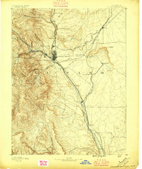
1893 · Colorado Springs
USGS Topo · 1:125,000
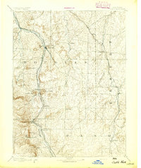
1894 · Castle Rock
USGS Topo · 1:125,000
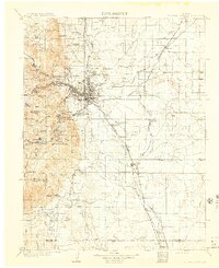
1909 · Colorado Springs
USGS Topo · 1:125,000
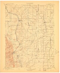
1913 · Castle Rock
USGS Topo · 1:125,000
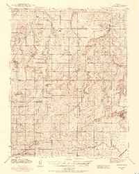
1940 · Elbert
USGS Topo · 1:62,500
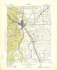
1942 · Colorado Springs
USGS Topo · 1:125,000
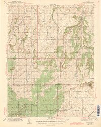
1944 · Elbert
USGS Topo · 1:62,500
1948 · Colorado Springs
USGS Topo · 1:62,500
1948 · Pikeview
USGS Topo · 1:24,000
1948 · Cascade
USGS Topo · 1:24,000