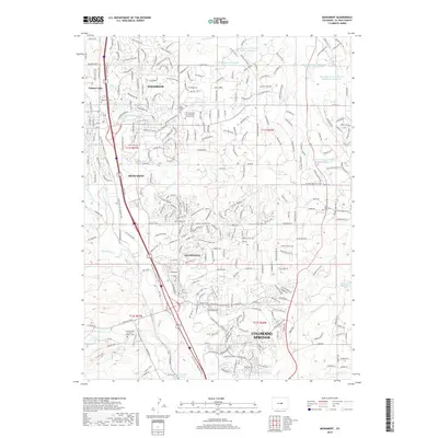
2019 Map of Monument
USGS Topo · Published 2019About this map
The United States Air Force Academy grounds dominate the southwestern portion of this landscape, where the Falcon Trail and Falcon Trail Spur wind through the foothills of the Front Range. This modern topographic record captures the suburban expansion of Monument and Woodmoor, highlighting the integration of residential development with a dense network of recreational corridors such as the New Santa Fe Regional Trail and the Fox Run Regional Trail.
Find a feature on this map
49 named features on this map. Tap any name to fly to it.
Don’t see what you’re looking for? This feature index may not catch every label — zoom into the map to look around manually.
Map Details
Editions of this 2019 Monument Map
This is the sole edition of this map. No revisions or reprints were ever made.
Other maps of this area

1893 · Colorado Springs
USGS Topo · 1:125,000

1894 · Castle Rock
USGS Topo · 1:125,000

1909 · Colorado Springs
USGS Topo · 1:125,000

1913 · Castle Rock
USGS Topo · 1:125,000

1940 · Elbert
USGS Topo · 1:62,500

1942 · Colorado Springs
USGS Topo · 1:125,000

1944 · Elbert
USGS Topo · 1:62,500

1948 · Colorado Springs
USGS Topo · 1:62,500

1948 · Pikeview
USGS Topo · 1:24,000

1948 · Cascade
USGS Topo · 1:24,000