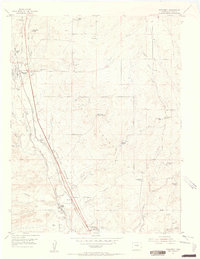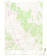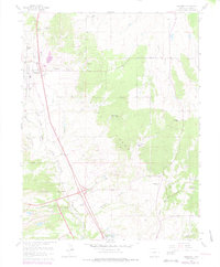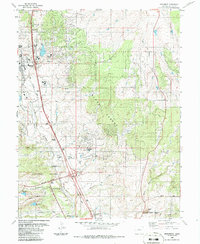
2022 Map of Monument
USGS Topo · Published 2022About this map
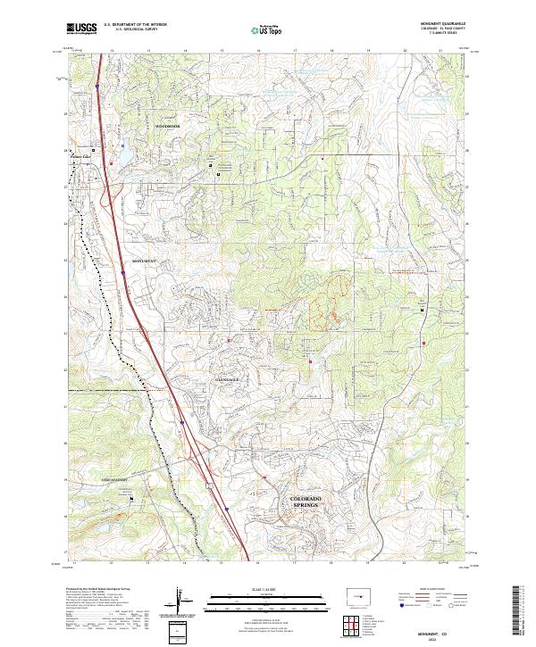
Monument and Palmer Lake anchor this modern landscape where residential growth meets institutional history along the northern edge of Colorado Springs. The map reveals a suburban-rural interface dominated by planned communities like Woodmoor and Gleneagle, woven between the drainage basins of Monument Creek and Dirty Woman Creek. This 2022 survey details the complex network of flood control systems, including the series of West Cherry Creek Detention Reservoirs, which manage runoff in the undulating terrain.
Find a feature on this map
276 named features on this map. Tap any name to fly to it.
Don’t see what you’re looking for? This feature index may not catch every label — zoom into the map to look around manually.
Map Details
Editions of this 2022 Monument Map
This is the sole edition of this map. No revisions or reprints were ever made.
Historical Maps of Palmer Lake Through Time
5 maps found