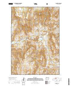
2020 Map of Monument
USGS Topo · Published 2020About this map
Monument sits at the junction of the North Fork John Day River and several significant tributaries, serving as a focal point for this eastern Oregon landscape. The map reveals a community supported by local infrastructure like the Monument Municipal Airport and the Monument Cem, with residential life concentrated along Main St and Cavender Ln. To the northwest, the boundary of the Umatilla National Forest begins, while the surrounding terrain is defined by prominent peaks such as Monument Mtn and Franklin Mtn. The topography is etched with numerous drainages and canyons, including the curiously named Jack of Clubs and the evocative Hell Fire Flat to the south. This survey provides a look at the modern road network, from the Kimberly-Monument Hwy to remote routes like Top Rd, tracing how transportation follows the natural contours of the river valleys.
Find a feature on this map
45 named features on this map. Tap any name to fly to it.
Don’t see what you’re looking for? This feature index may not catch every label — zoom into the map to look around manually.
Map Details
Editions of this 2020 Monument Map
This is the sole edition of this map. No revisions or reprints were ever made.
Other maps of this area

1951 · Courtrock
USGS Topo · 1:62,500

1951 · Monument
USGS Topo · 1:62,500

1953 · Kimberly
USGS Topo · 1:62,500

1953 · Picture
USGS Topo · 1:62,500

1955 · Canyon City
USGS Topo · 1:250,000

1959 · Canyon City
USGS Topo · 1:250,000

1980 · Monument
USGS Topo · 1:100,000
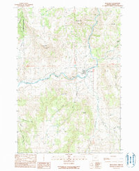
1990 · Monument
USGS Topo · 1:24,000
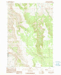
1990 · Miller Flat
USGS Topo · 1:24,000
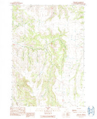
1990 · Steet Mtn.
USGS Topo · 1:24,000