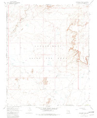
1967 Map of Monument Point
USGS Topo · Published 1981About this map
The Navajo Hopi Joint Use Area dominates this landscape in the mid-1960s, a period defined by shared administrative boundaries in the high desert. The terrain is characterized by the prominent rise of Garces Mesas and the sharp escarpments of Kachina Points to the east. Across the arid plains, seasonal drainage is marked by the Dinnebito Wash, while human presence is indicated by isolated Ruins and cattle-related infrastructure like the Corral and Dry Wells.
Find a feature on this map
16 named features on this map. Tap any name to fly to it.
Don’t see what you’re looking for? This feature index may not catch every label — zoom into the map to look around manually.
Map Details
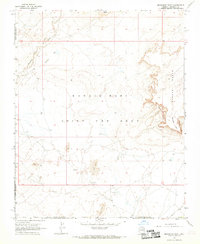
Editions of this 1967 Monument Point Map
2 editions found
Other maps of this area

1883 · Tusayan
USGS Topo · 1:250,000

1886 · Tusayan
USGS Topo · 1:250,000

1886 · San Francisco Mtns
USGS Topo · 1:250,000

1891 · San Francisco Mtns
USGS Topo · 1:250,000

1894 · San Francisco Mtns
USGS Topo · 1:250,000

1899 · San Francisco Mtns
USGS Topo · 1:250,000

1947 · Flagstaff
USGS Topo · 1:250,000

1954 · Flagstaff
USGS Topo · 1:250,000

1955 · Grand Falls NE
USGS Topo · 1:24,000
1955 · Black Falls 4 SE
USGS Topo · 1:24,000