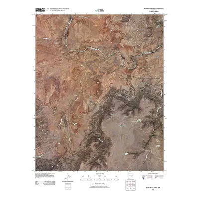
2010 Map of Monument Point
USGS Topo · Published 2010About this map
The Canadian River meanders through this arid reach of San Miguel County, cutting deep into a landscape defined by expansive elevated plateaus and seasonal drainage networks. High ground is marked by the broad stretches of Chical Mesa and Mesa Rica, while the prominent landmark of Monument Point provides a navigational anchor for the surrounding terrain. This environment is characterized by a reliance on artificial water sources, evidenced by numerous infrastructure points like Twin Tanks, West Tank, and several windmills used for livestock and local homesteading needs. One of the few signs of concentrated local history is the San Lorenzo Cemetery, which stands as a quiet reminder of early settlers along the river. Civil engineering is represented by Tunnel Number 2, which suggests the presence of subterranean transport or water management infrastructure piercing through the rocky mesas that dominate this region of New Mexico.
Find a feature on this map
28 named features on this map. Tap any name to fly to it.
Don’t see what you’re looking for? This feature index may not catch every label — zoom into the map to look around manually.
Map Details
Editions of this 2010 Monument Point Map
This is the sole edition of this map. No revisions or reprints were ever made.
Other maps of this area

1930 · Tucumcari
USGS Topo · 1:125,000

1954 · Santa Fe
USGS Topo · 1:250,000

1954 · Tucumcari
USGS Topo · 1:250,000

1958 · Santa Fe
USGS Topo · 1:250,000

1958 · Tucumcari
USGS Topo · 1:250,000

1964 · Muniz Canyon
USGS Topo · 1:24,000

1964 · Ortega Tank
USGS Topo · 1:24,000

1967 · Tenaja Mesa
USGS Topo · 1:24,000

1967 · Monument Point
USGS Topo · 1:24,000

1968 · La Cinta Mesa
USGS Topo · 1:24,000