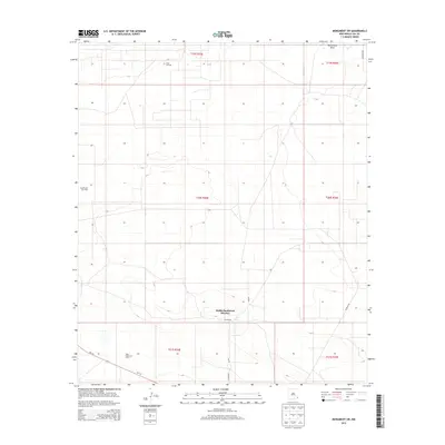
2013 Map of Monument SW
USGS Topo · Published 2013About this map
The energy economy of Lea County defines this landscape southwest of Monument, where extensive drilling operations are etched into the desert terrain. This 2013 survey illustrates a high density of extraction sites, particularly within the Pearl Oil Field and the Lea Oil and Gas Field. The infrastructure required for these operations is evident in the network of local connectors like Childress Rd and Co Road 35, which grid the plains to service scattered well pads. In the southern portion of the quadrangle, the West Wilson Oil Field flanks the highway corridor of Nm-176. Aside from industrial features, the map documents the Sims Ranch and the subtle course of Monument Draw, a seasonal drainage that cuts through the high plains. The map provides a detailed look at the Hobbs Southwest Division, showing how ranching and petroleum interests share this corner of New Mexico.
Find a feature on this map
17 named features on this map. Tap any name to fly to it.
Don’t see what you’re looking for? This feature index may not catch every label — zoom into the map to look around manually.
Map Details
Editions of this 2013 Monument SW Map
This is the sole edition of this map. No revisions or reprints were ever made.
Other maps of this area

1954 · Hobbs
USGS Topo · 1:250,000

1958 · Hobbs
USGS Topo · 1:250,000

1963 · Oil Center
USGS Topo · 1:62,500

1963 · Monument
USGS Topo · 1:62,500

1963 · Laguna Gatuna
USGS Topo · 1:62,500

1963 · Hat Mesa
USGS Topo · 1:62,500

1978 · Jal
USGS Topo · 1:100,000

1984 · Oil Center
USGS Topo · 1:24,000

1984 · Lea
USGS Topo · 1:24,000

1984 · Ironhouse Well
USGS Topo · 1:24,000