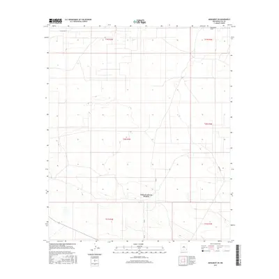
2017 Map of Monument SW
USGS Topo · Published 2017About this map
Monument Draw cuts across the northeastern corner of this arid New Mexico landscape, providing a primary hydrological feature in an area defined by its systematic township and range organization. The terrain here is largely open, marked by a network of local roads such as Sims Rd, Pearson Rd, and Willow Tree Rd that follow the established section lines of the Public Land Survey System. These routes facilitate movement across the Hobbs Southwest Division, reflecting the rural character of Lea County during the mid-2010s. The topographic detail highlights the subtle shifts in elevation that characterize the high plains, where the vastness of the geography is partitioned into distinct legal boundaries such as t19s r35e and t20s r36e.
Find a feature on this map
11 named features on this map. Tap any name to fly to it.
Don’t see what you’re looking for? This feature index may not catch every label — zoom into the map to look around manually.
Map Details
Editions of this 2017 Monument SW Map
This is the sole edition of this map. No revisions or reprints were ever made.
Other maps of this area

1954 · Hobbs
USGS Topo · 1:250,000

1958 · Hobbs
USGS Topo · 1:250,000

1963 · Oil Center
USGS Topo · 1:62,500

1963 · Monument
USGS Topo · 1:62,500

1963 · Laguna Gatuna
USGS Topo · 1:62,500

1963 · Hat Mesa
USGS Topo · 1:62,500

1978 · Jal
USGS Topo · 1:100,000

1984 · Oil Center
USGS Topo · 1:24,000

1984 · Lea
USGS Topo · 1:24,000

1984 · Ironhouse Well
USGS Topo · 1:24,000