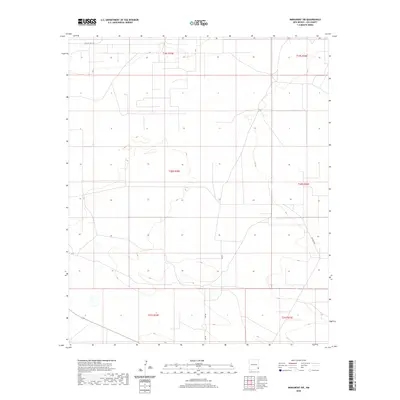
2020 Map of Monument SW
USGS Topo · Published 2020About this map
The terrain of Lea County is documented in this 2020 topographical study, revealing a landscape defined by the Public Land Survey System. The rectilinear grid of sections and townships governs the modern layout of this New Mexico landscape, which is largely characterized by subtle elevation changes and open spaces. Human infrastructure is concentrated in the northern portion of the region, where Willow Tree Rd provides one of the few named transportation corridors. The map illustrates the sparse, high-plains environment where water resources are captured through the National Hydrography Dataset, though named surface features are notably absent. This area is primarily organized by its legal land descriptions, with township lines marking the transition between regions such as T20S R35E and T21S R35E, reflecting the enduring influence of the cadastral survey on western land use.
Find a feature on this map
1 named feature on this map. Tap any name to fly to it.
Don’t see what you’re looking for? This feature index may not catch every label — zoom into the map to look around manually.
Map Details
Editions of this 2020 Monument SW Map
This is the sole edition of this map. No revisions or reprints were ever made.
Other maps of this area

1954 · Hobbs
USGS Topo · 1:250,000

1958 · Hobbs
USGS Topo · 1:250,000

1963 · Oil Center
USGS Topo · 1:62,500

1963 · Monument
USGS Topo · 1:62,500

1963 · Laguna Gatuna
USGS Topo · 1:62,500

1963 · Hat Mesa
USGS Topo · 1:62,500

1978 · Jal
USGS Topo · 1:100,000

1984 · Oil Center
USGS Topo · 1:24,000

1984 · Lea
USGS Topo · 1:24,000

1984 · Ironhouse Well
USGS Topo · 1:24,000