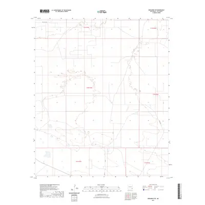
2023 Map of Monument SW
USGS Topo · Published 2023About this map
The arid high plains of t20s r35e and t20s r36e characterize this 2023 survey of Lea County. The landscape is defined by its vast sections of public land, sparsely interrupted by essential local corridors such as Willow Tree Rd and Sims Rd. To the east, Pearson Rd serves as a primary north-south artery, while the presence of Sms Rd suggests the continued importance of access to remote desert allotments. The map reveals the intricate network of range and section lines that govern land ownership and resource management in this corner of the Permian Basin, where the environment remains largely open and undeveloped.
Find a feature on this map
10 named features on this map. Tap any name to fly to it.
Don’t see what you’re looking for? This feature index may not catch every label — zoom into the map to look around manually.
Map Details
Editions of this 2023 Monument SW Map
This is the sole edition of this map. No revisions or reprints were ever made.
Other maps of this area

1954 · Hobbs
USGS Topo · 1:250,000

1958 · Hobbs
USGS Topo · 1:250,000

1963 · Oil Center
USGS Topo · 1:62,500

1963 · Monument
USGS Topo · 1:62,500

1963 · Laguna Gatuna
USGS Topo · 1:62,500

1963 · Hat Mesa
USGS Topo · 1:62,500

1978 · Jal
USGS Topo · 1:100,000

1984 · Oil Center
USGS Topo · 1:24,000

1984 · Lea
USGS Topo · 1:24,000

1984 · Ironhouse Well
USGS Topo · 1:24,000