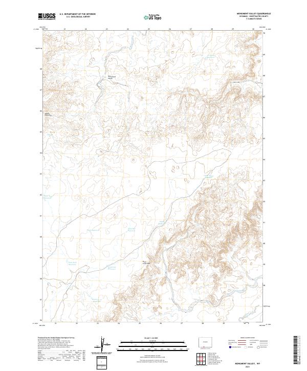
2021 Map of Monument Valley
USGS Topo · Published 2021About this map
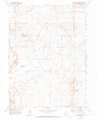
Adobe Town Rim and Skull Creek Rim define the high elevations of this high-desert landscape in Sweetwater County. The terrain is characterized by a complex system of seasonal drainages and man-made water management features, reflecting the necessities of ranching and land management in the arid West. Monument Valley lies in the northern portion of the quadrangle, where Sand Cr winds through the basin.
Find a feature on this map
20 named features on this map. Tap any name to fly to it.
Don’t see what you’re looking for? This feature index may not catch every label — zoom into the map to look around manually.
Map Details
Editions of this 2021 Monument Valley Map
This is the sole edition of this map. No revisions or reprints were ever made.
Other maps of this area

1954 · Rock Springs
USGS Topo · 1:250,000

1958 · Rock Springs
USGS Topo · 1:250,000

1962 · Rock Springs
USGS Topo · 1:250,000

1970 · Cow Creek Reservoir
USGS Topo · 1:24,000

1970 · Prehistoric Rim
USGS Topo · 1:24,000
1970 · Kinney Spring
USGS Topo · 1:24,000

1970 · Manuel Gap
USGS Topo · 1:24,000
1970 · Powder Mountain
USGS Topo · 1:24,000
1970 · Upper Powder Spring
USGS Topo · 1:24,000
1970 · Barrel Springs SW
USGS Topo · 1:24,000