
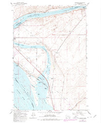
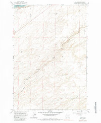
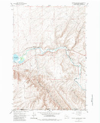
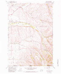
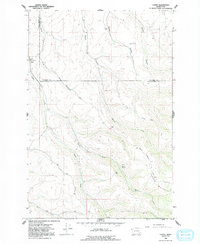
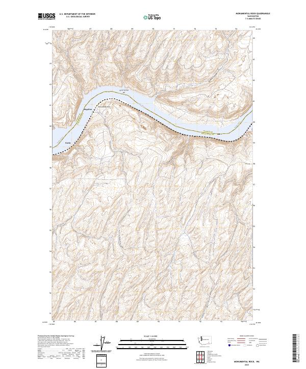
1981 Map of Monumental Rock
USGS Topo · Published 1981About this map
Lake Herbert G West and the Snake River dominate this 1981 topographic survey, marking the boundary between Franklin and Walla Walla counties. The landscape transitions from the river's Cow Bar and Skookum Canyon into upland agricultural and ranching territory. Settlement and industry are tied to the water and rail, with the Union Pacific line tracking the southern shore.
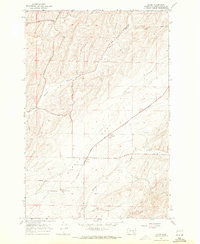
Find a feature on this map
20 named features on this map. Tap any name to fly to it.
Don’t see what you’re looking for? This feature index may not catch every label — zoom into the map to look around manually.
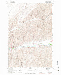
Map Details
Editions of this 1981 Monumental Rock Map
This is the sole edition of this map. No revisions or reprints were ever made.
Historical Maps of Magallon Through Time
50 maps found

1915 Wallulah
Walla Walla County, WA
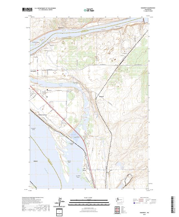
1964 Humorist
Walla Walla County, WA
1964 Slater
Walla Walla County, WA
1964 Zangar Junction
Walla Walla County, WA
1966 Buroker
Walla Walla County, WA
1966 Coppei
Walla Walla County, WA

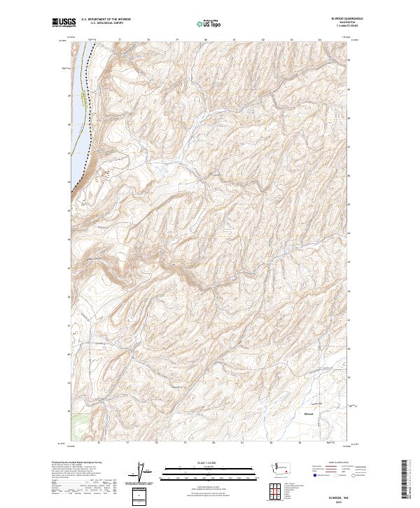
1966 Elwood
Walla Walla County, WA

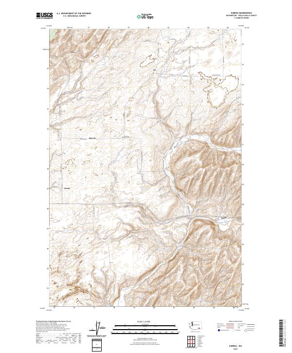
1966 Eureka
Walla Walla County, WA

1966 Hadley
Walla Walla County, WA

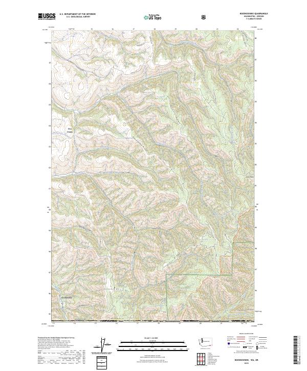
1966 Kooskooskie
Walla Walla County, WA

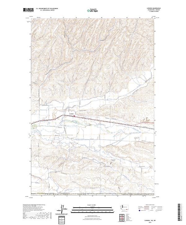
1966 Lowden
Walla Walla County, WA

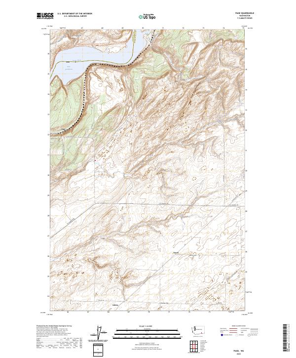
1966 Page
Walla Walla County, WA

1966 Rulo
Walla Walla County, WA

1966 Valley Grove
Walla Walla County, WA

1966 Welland
Walla Walla County, WA
1967 Clyde
Walla Walla County, WA
1967 Harsha
Walla Walla County, WA
1967 Pleasant View
Walla Walla County, WA

1981 Ayer
Walla Walla County, WA
1981 Monumental Rock
Walla Walla County, WA

1991 Elwood
Walla Walla County, WA

1991 Eureka
Walla Walla County, WA

1991 Hadley
Walla Walla County, WA

1991 Lowden
Walla Walla County, WA

1991 Page
Walla Walla County, WA

1991 Rulo
Walla Walla County, WA

1991 Slater
Walla Walla County, WA

1991 Zangar Junction
Walla Walla County, WA

1992 Humorist
Walla Walla County, WA

1992 Welland
Walla Walla County, WA

1995 Kooskooskie
Walla Walla County, WA
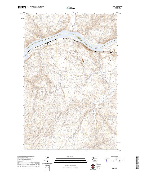
2023 Ayer
Walla Walla County, WA
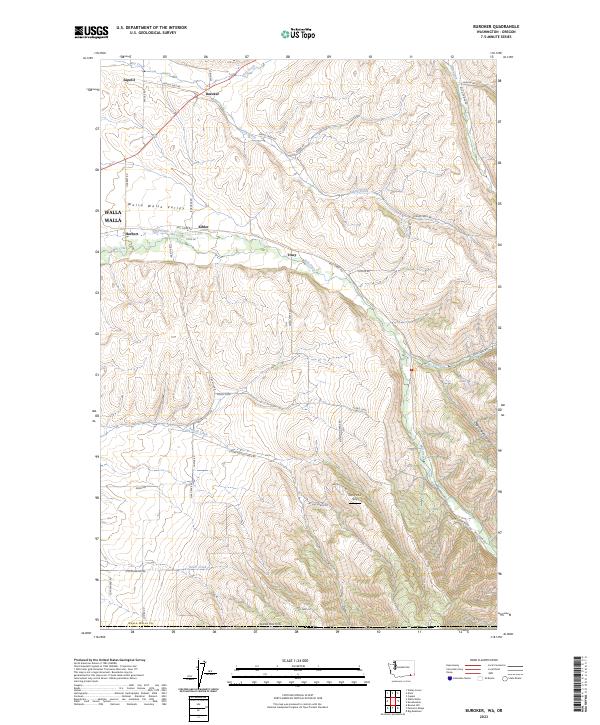
2023 Buroker
Walla Walla County, WA
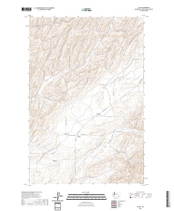
2023 Clyde
Walla Walla County, WA
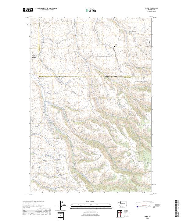
2023 Coppei
Walla Walla County, WA
2023 Elwood
Walla Walla County, WA
2023 Eureka
Walla Walla County, WA

2023 Hadley
Walla Walla County, WA
2023 Harsha
Walla Walla County, WA
2023 Humorist
Walla Walla County, WA
2023 Kooskooskie
Walla Walla County, WA
2023 Lowden
Walla Walla County, WA
2023 Monumental Rock
Walla Walla County, WA
2023 Page
Walla Walla County, WA
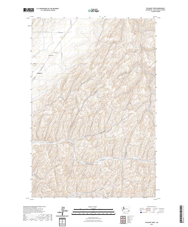
2023 Pleasant View
Walla Walla County, WA
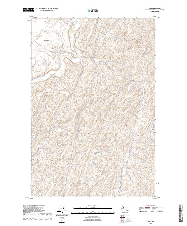
2023 Rulo
Walla Walla County, WA
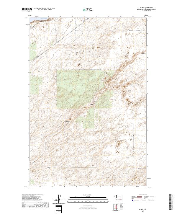
2023 Slater
Walla Walla County, WA
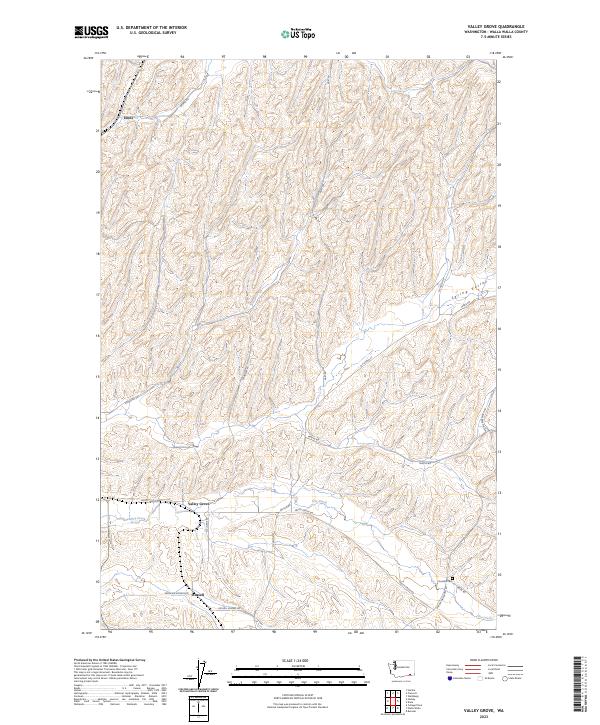
2023 Valley Grove
Walla Walla County, WA
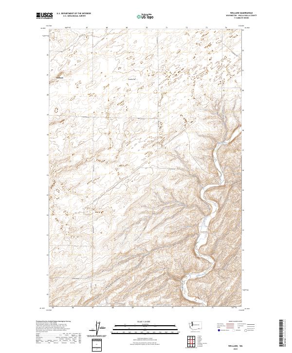
2023 Welland
Walla Walla County, WA

2023 Zangar Junction
Walla Walla County, WA