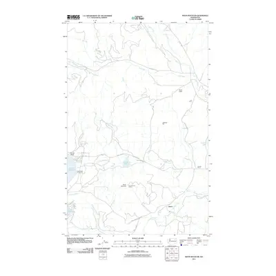
2011 Map of Moon Mountain
USGS Topo · Published 2011About this map
Moon Mountain and its prominent Moon Mountain Lookout dominate the central landscape of this Ferry County region, where the terrain shifts between elevated peaks and the watered lowlands of Seyler Valley. The map detail highlights a network of water management and recreation centered on North Twin Lake and South Twin Lake, which are linked by the Twin Lakes Ditch. This area serves as a focal point for local activity, featuring the Hidden Beach Campground and the settlement of Carson Beach.
Find a feature on this map
33 named features on this map. Tap any name to fly to it.
Don’t see what you’re looking for? This feature index may not catch every label — zoom into the map to look around manually.
Map Details
Editions of this 2011 Moon Mountain Map
This is the sole edition of this map. No revisions or reprints were ever made.
Other maps of this area

1948 · Hunters
USGS Topo · 1:62,500

1948 · Wilmont Creek
USGS Topo · 1:62,500

1950 · Wilmont Creek
USGS Topo · 1:62,500

1950 · Hunters
USGS Topo · 1:62,500

1950 · Inchelium
USGS Topo · 1:62,500

1952 · Twin Lakes
USGS Topo · 1:62,500

1954 · Okanogan
USGS Topo · 1:250,000

1956 · Wilmont Creek
USGS Topo · 1:62,500

1958 · Okanogan
USGS Topo · 1:250,000

1984 · Nespelem
USGS Topo · 1:100,000