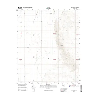
2014 Map of Moon Mountain
USGS Topo · Published 2014About this map
Moon Mountain and the northern reaches of the Dome Rock Mountains dominate the eastern half of this La Paz County landscape, where desert elevations rise sharply from the basin floor. To the west, the arid flatlands of Parker Valley transition into a managed agricultural grid, evidenced by the presence of Mesa Drain and Lateral A Seventy-three. This contrast between the natural desert drainage of Tyson Wash and the engineered irrigation channels illustrates the era's ongoing intersection of natural landforms and human land use in the Arizona desert.
Find a feature on this map
24 named features on this map. Tap any name to fly to it.
Don’t see what you’re looking for? This feature index may not catch every label — zoom into the map to look around manually.
Map Details
Editions of this 2014 Moon Mountain Map
This is the sole edition of this map. No revisions or reprints were ever made.
Other maps of this area

1931 · Moon Mtn
USGS Topo · 1:62,500

1932 · Moon Mtn
USGS Topo · 1:62,500

1933 · Cunningham Mtn
USGS Topo · 1:48,000

1940 · Dome Rock Mts
USGS Topo · 1:62,500

1942 · Blythe
USGS Topo · 1:250,000

1942 · MOON MTN
USGS Topo · 1:62,500

1945 · Big Maria Mtns
USGS Topo · 1:62,500

1951 · Big Maria Mts
USGS Topo · 1:62,500

1951 · Blythe NE
USGS Topo · 1:24,000

1954 · Salton Sea
USGS Topo · 1:250,000