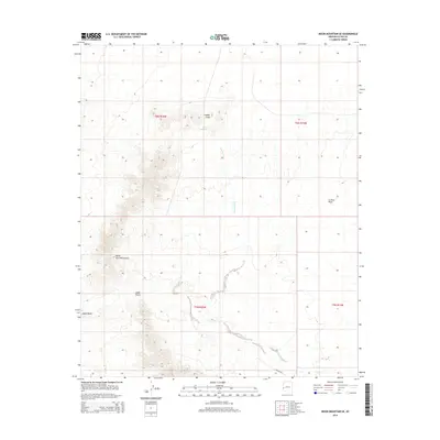
2014 Map of Moon Mountain SE
USGS Topo · Published 2014About this map
The Dome Rock Mountains dominate this high-desert landscape in La Paz County, where sharp elevation changes meet the broad flats of the La Posa Plain. The area is defined by its drainage patterns and prominent peaks, notably Copper Peak and the high vantage of Angel Point. These landforms dictate the passage through the region, as seen with the road alignment at Boyer Gap. Arid hydrologic features like Kaiser Wash and Tyson Wash weave across the terrain, indicating the seasonal flow of water toward the Kaiser Waterhole. This 2014 survey by the U.S. Geological Survey provides a precise view of the topography and public land survey system grid, which continues to mark the boundaries of this section of the Arizona desert.
Find a feature on this map
12 named features on this map. Tap any name to fly to it.
Don’t see what you’re looking for? This feature index may not catch every label — zoom into the map to look around manually.
Map Details
Editions of this 2014 Moon Mountain SE Map
This is the sole edition of this map. No revisions or reprints were ever made.
Other maps of this area

1930 · Linskey
USGS Topo · 1:62,500

1931 · Moon Mtn
USGS Topo · 1:62,500

1932 · Moon Mtn
USGS Topo · 1:62,500

1933 · Cunningham Mtn
USGS Topo · 1:48,000

1940 · Dome Rock Mts
USGS Topo · 1:62,500

1942 · Blythe
USGS Topo · 1:250,000

1942 · MOON MTN
USGS Topo · 1:62,500

1954 · Salton Sea
USGS Topo · 1:250,000

1955 · Salton Sea
USGS Topo · 1:250,000
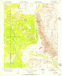
1955 · Moon Mtn
USGS Topo · 1:24,000