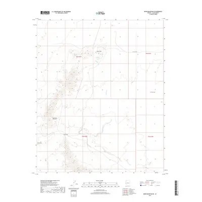
2018 Map of Moon Mountain SE
USGS Topo · Published 2018About this map
Copper Peak rises as a prominent landmark in this desert landscape, which is defined by the complex topography of the Dome Rock Mountains and the expansive La Posa Plain. The area is marked by seasonal drainage patterns, most notably Kaiser Wash and Tyson Wash, which reflect the arid environment of western Arizona. Evidence of localized water sources and mining access is found in features like the Kaiser Waterhole and the path of Cyprus Mine Rd. This 2018 survey illustrates how access routes and topographic markers like Angel Point continue to serve as the primary references in a region characterized more by its geology than its built infrastructure.
Find a feature on this map
12 named features on this map. Tap any name to fly to it.
Don’t see what you’re looking for? This feature index may not catch every label — zoom into the map to look around manually.
Map Details
Editions of this 2018 Moon Mountain SE Map
This is the sole edition of this map. No revisions or reprints were ever made.
Other maps of this area

1930 · Linskey
USGS Topo · 1:62,500

1931 · Moon Mtn
USGS Topo · 1:62,500

1932 · Moon Mtn
USGS Topo · 1:62,500

1933 · Cunningham Mtn
USGS Topo · 1:48,000

1940 · Dome Rock Mts
USGS Topo · 1:62,500

1942 · Blythe
USGS Topo · 1:250,000

1942 · MOON MTN
USGS Topo · 1:62,500

1954 · Salton Sea
USGS Topo · 1:250,000

1955 · Salton Sea
USGS Topo · 1:250,000
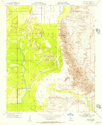
1955 · Moon Mtn
USGS Topo · 1:24,000