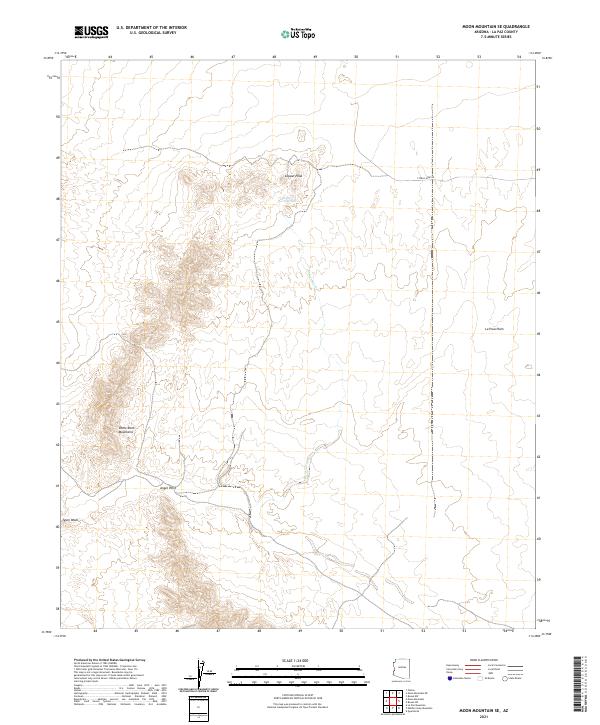
2021 Map of Moon Mountain SE
USGS Topo · Published 2021About this map
Copper Peak rises as a prominent landmark in this desert landscape, overlooking a network of seasonal watercourses and mining-related infrastructure. The arid terrain of La Paz County is defined by the Dome Rock Mountains to the west and the expansive La Posa Plain to the east. Historically significant water sources like the Kaiser Waterhole and drainage systems such as Kaiser Wash and Tyson Wash dictate the movement across this environment.
Find a feature on this map
12 named features on this map. Tap any name to fly to it.
Don’t see what you’re looking for? This feature index may not catch every label — zoom into the map to look around manually.
Map Details
Editions of this 2021 Moon Mountain SE Map
This is the sole edition of this map. No revisions or reprints were ever made.
Other maps of this area

1930 · Linskey
USGS Topo · 1:62,500

1931 · Moon Mtn
USGS Topo · 1:62,500

1932 · Moon Mtn
USGS Topo · 1:62,500

1933 · Cunningham Mtn
USGS Topo · 1:48,000

1940 · Dome Rock Mts
USGS Topo · 1:62,500

1942 · Blythe
USGS Topo · 1:250,000

1942 · MOON MTN
USGS Topo · 1:62,500

1954 · Salton Sea
USGS Topo · 1:250,000

1955 · Salton Sea
USGS Topo · 1:250,000
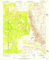
1955 · Moon Mtn
USGS Topo · 1:24,000