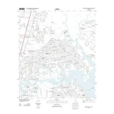
2013 Map of Moonshine Hill
USGS Topo · Published 2013About this map
Moonshine Hill and the surrounding residential developments characterize this landscape north of Houston, where suburban expansion meets the varied waterways of the Gulf Coastal Plain. The map documents a dense network of modern villages and neighborhoods like Elm Grove Village, Greentree Village, and Pinehurst of Atascocita, many of which border the expansive Lake Houston. To the north, the community of Porter is situated near White Oak Cr, while the historic White Oak Cem remains as a link to the area's earlier rural heritage. The eastern boundary is defined by the E Fork San Jacinto River, crossed by the McKay Bridge. This survey illustrates the intricate drainage systems that define the region, from large reservoirs like Lake Houston to smaller named channels such as Peach Cr, Caney Cr, and Blackland Gully.
Find a feature on this map
52 named features on this map. Tap any name to fly to it.
Don’t see what you’re looking for? This feature index may not catch every label — zoom into the map to look around manually.
Map Details
Editions of this 2013 Moonshine Hill Map
This is the sole edition of this map. No revisions or reprints were ever made.
Other maps of this area

1916 · Crosby
USGS Topo · 1:24,000

1916 · Harmaston
USGS Topo · 1:24,000

1916 · Moonshine Hill
USGS Topo · 1:24,000

1916 · Huffman
USGS Topo · 1:24,000

1916 · Humble
USGS Topo · 1:24,000

1919 · Humble
USGS Topo · 1:31,680

1919 · Weeden
USGS Topo · 1:31,680

1919 · Crosby
USGS Topo · 1:31,680

1920 · Harmaston
USGS Topo · 1:31,680

1920 · Moonshine Hill
USGS Topo · 1:31,680