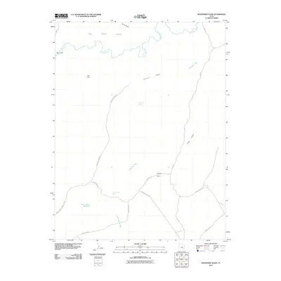
2010 Map of Moonshine Wash
USGS Topo · Published 2010About this map
The San Rafael River meanders across the northern reaches of this Emery County landscape, defining the topography of the San Rafael Valley and providing the primary water source in an otherwise arid expanse. A network of unimproved roads and trails, including Flint Trl and Moonshine Spring Rd, provides access to interior features like Moonshine Spring and Saddle Horse Spring. These water points were critical for livestock and travelers traversing the high ground of Gruvers Mesa or descending into Three Canyon.
Find a feature on this map
21 named features on this map. Tap any name to fly to it.
Don’t see what you’re looking for? This feature index may not catch every label — zoom into the map to look around manually.
Map Details
Editions of this 2010 Moonshine Wash Map
This is the sole edition of this map. No revisions or reprints were ever made.
Other maps of this area

1885 · San Rafael
USGS Topo · 1:250,000

1952 · Tidwell 4 SE
USGS Topo · 1:24,000

1952 · Tidwell 4 NE
USGS Topo · 1:24,000

1954 · Tidwell 1 SW
USGS Topo · 1:24,000

1954 · Tidwell 2 SE
USGS Topo · 1:24,000

1954 · Tidwell 1 SE
USGS Topo · 1:24,000

1954 · Tidwell Bottoms
USGS Topo · 1:62,500

1954 · Green River
USGS Topo · 1:62,500

1956 · Salina
USGS Topo · 1:250,000

1960 · Salina
USGS Topo · 1:250,000