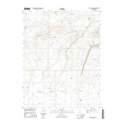
2017 Map of Moonshine Wash
USGS Topo · Published 2017About this map
The San Rafael River meanders through the northern reaches of this Emery County landscape, carving a path through the San Rafael Valley before entering more confined terrain. This 2017 survey documents a high desert environment defined by significant plateaus and drainage systems, most notably Gruvers Mesa and the expansive Moonshine Wash. The map reveals a reliance on scarce water sources in this arid region, marking critical points such as Moonshine Spring, Saddle Horse Spring, and the Saucer Basin Reservoir in the southern sections.
Find a feature on this map
27 named features on this map. Tap any name to fly to it.
Don’t see what you’re looking for? This feature index may not catch every label — zoom into the map to look around manually.
Map Details
Editions of this 2017 Moonshine Wash Map
This is the sole edition of this map. No revisions or reprints were ever made.
Other maps of this area

1885 · San Rafael
USGS Topo · 1:250,000

1952 · Tidwell 4 SE
USGS Topo · 1:24,000

1952 · Tidwell 4 NE
USGS Topo · 1:24,000

1954 · Tidwell 1 SW
USGS Topo · 1:24,000

1954 · Tidwell 2 SE
USGS Topo · 1:24,000

1954 · Tidwell 1 SE
USGS Topo · 1:24,000

1954 · Tidwell Bottoms
USGS Topo · 1:62,500

1954 · Green River
USGS Topo · 1:62,500

1956 · Salina
USGS Topo · 1:250,000

1960 · Salina
USGS Topo · 1:250,000