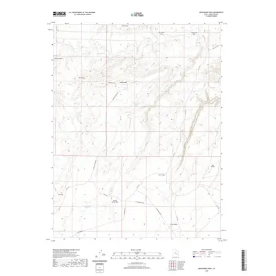
2020 Map of Moonshine Wash
USGS Topo · Published 2020About this map
The San Rafael River carves through the northern reaches of this Emery County landscape, marking a vital water source in an otherwise arid plateau. The terrain is defined by dramatic elevation changes, where high flats like Horse Bench and Gruvers Mesa overlook deep drainages such as Moonshine Wash and Spring Canyon. This 2020 survey illustrates a region shaped by natural erosion and sparse seasonal water management, featuring remote catchment points like the Saucer Basin Reservoir.
Find a feature on this map
24 named features on this map. Tap any name to fly to it.
Don’t see what you’re looking for? This feature index may not catch every label — zoom into the map to look around manually.
Map Details
Editions of this 2020 Moonshine Wash Map
This is the sole edition of this map. No revisions or reprints were ever made.
Other maps of this area

1885 · San Rafael
USGS Topo · 1:250,000

1952 · Tidwell 4 SE
USGS Topo · 1:24,000

1952 · Tidwell 4 NE
USGS Topo · 1:24,000

1954 · Tidwell 1 SW
USGS Topo · 1:24,000

1954 · Tidwell 2 SE
USGS Topo · 1:24,000

1954 · Tidwell 1 SE
USGS Topo · 1:24,000

1954 · Tidwell Bottoms
USGS Topo · 1:62,500

1954 · Green River
USGS Topo · 1:62,500

1956 · Salina
USGS Topo · 1:250,000

1960 · Salina
USGS Topo · 1:250,000