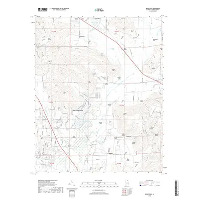
2018 Map of Moontown
USGS Topo · Published 2018About this map
The Flint River meanders southward through this Madison County landscape, separating the rising elevations of Drake Mtn and Dug Hill from the agricultural flats to the east. Several small communities and named locales such as Moontown, Lickskillet, and Cherrytree are scattered throughout the region, reflecting a rural settlement pattern that persists even as the eastern fringes of Huntsville begin to appear on the western edge. Aviation history is represented by the local Moontown Airport and Frerichs Airport, serving as distinctive landmarks in an area otherwise defined by river bends and mountain spurs.
Find a feature on this map
182 named features on this map. Tap any name to fly to it.
Don’t see what you’re looking for? This feature index may not catch every label — zoom into the map to look around manually.
Map Details
Editions of this 2018 Moontown Map
This is the sole edition of this map. No revisions or reprints were ever made.
Other maps of this area

1888 · Scottsboro
USGS Topo · 1:125,000

1888 · Huntsville
USGS Topo · 1:125,000

1892 · Huntsville
USGS Topo · 1:125,000

1892 · Scottsboro
USGS Topo · 1:125,000
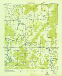
1936 · New Hope
USGS Topo · 1:24,000
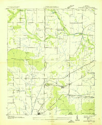
1936 · Meridianville
USGS Topo · 1:24,000
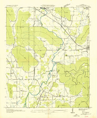
1936 · Moontown
USGS Topo · 1:24,000
1936 · Hollytree
USGS Topo · 1:24,000
1936 · Grant
USGS Topo · 1:24,000
1936 · Maysville
USGS Topo · 1:24,000