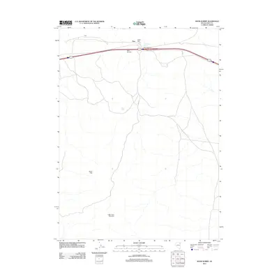
2012 Map of Moor Summit
USGS Topo · Published 2012About this map
Moor Summit and Cedar Pass serve as the primary topographical gateways through this high-altitude landscape in Elko County. The small settlement of Moor sits at the northern end of the map, adjacent to the modern Moor Interchange. This area is defined by the steep transition from the Wood Hills to the west toward the prominent Little Cedar Mountain in the south. Life in this arid basin is anchored by scattered water sources like Independence Springs and Wadel Spring. The transportation network is dominated by a major east-west corridor, supported by local routes such as Moor Rd and FR 435 Rd, which navigate the various gaps and passes that have historically funneled travel through this portion of the Great Basin.
Find a feature on this map
11 named features on this map. Tap any name to fly to it.
Don’t see what you’re looking for? This feature index may not catch every label — zoom into the map to look around manually.
Map Details
Editions of this 2012 Moor Summit Map
This is the sole edition of this map. No revisions or reprints were ever made.
Other maps of this area

1955 · Wells
USGS Topo · 1:250,000

1955 · Elko
USGS Topo · 1:250,000

1958 · Wells
USGS Topo · 1:250,000

1958 · Elko
USGS Topo · 1:250,000

1961 · Wells
USGS Topo · 1:250,000

1962 · Elko
USGS Topo · 1:250,000

1965 · Elko
USGS Topo · 1:250,000

1968 · Moor Summit
USGS Topo · 1:24,000

1968 · Holborn
USGS Topo · 1:24,000

1968 · Wells
USGS Topo · 1:24,000