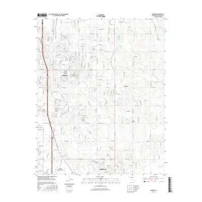
2016 Map of Moore
USGS Topo · Published 2016About this map
Moore and Norman anchor this Oklahoma landscape, illustrating the suburban and institutional growth between these two major centers during the mid-2010s. The northern portion of the map is marked by the developed street grids of Moore, which give way to more dispersed residential areas and small reservoirs like Spooner Lake and Kitchen Lake. To the south, the University of Oklahoma Westheimer Airport serves as a prominent landmark on the outskirts of Norman.
Find a feature on this map
74 named features on this map. Tap any name to fly to it.
Don’t see what you’re looking for? This feature index may not catch every label — zoom into the map to look around manually.
Map Details
Editions of this 2016 Moore Map
This is the sole edition of this map. No revisions or reprints were ever made.
Other maps of this area

1892 · Moore
USGS Topo · 1:62,500

1893 · Norman
USGS Topo · 1:62,500

1893 · Oklahoma City
USGS Topo · 1:62,500

1898 · Purcell
USGS Topo · 1:125,000

1904 · Chickasha
USGS Topo · 1:125,000

1925 · Norman NO 2
USGS Topo · 1:24,000

1934 · Crutcho Creek
USGS Topo · 1:24,000

1934 · Moore
USGS Topo · 1:62,500

1936 · Norman
USGS Topo · 1:62,500

1938 · Moore
USGS Topo · 1:62,500