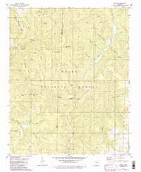
1980 Map of Moore
USGS Topo · Published 1986About this map
Richland Creek and its many tributaries, including Falling Water Creek, carve through the high ridges of the Ozark National Forest in this 1980 survey of the Newton and Searcy county line. The map highlights the sparse but significant human footprint in this upland environment, centered on small crossroads and family-named landmarks. Settlements such as Iceledo, Dickey Junction, and Moore are connected by a network of winding roads that follow the natural topography of ridges like Big Middle Ridge. Genealogists may find interest in Hill Cem or the numerous hollows bearing family names, such as Jack Jones Hollow and Campbell Hollow. The presence of a Lookout Tower and the Richland Recreation Area reflects the importance of forest management and early conservation efforts in the region, while peaks like Bill Hill Peak and Stump Mountain provide clear orientation within the complex drainage systems of the Ozark plateau.
Find a feature on this map
47 named features on this map. Tap any name to fly to it.
Don’t see what you’re looking for? This feature index may not catch every label — zoom into the map to look around manually.
Map Details
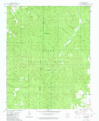
Editions of this 1980 Moore Map
2 editions found
Other maps of this area

1879 · Washington
USGS Topo · 1:62,500

1887 · Smyrna
USGS Topo · 1:62,500

1889 · Treat
USGS Topo · 1:62,500

1889 · Marshall #3
USGS Topo · 1:62,500

1892 · Marshall
USGS Topo · 1:125,000

1894 · Marshall
USGS Topo · 1:125,000

1901 · Marshall
USGS Topo · 1:125,000

1932 · Treat
USGS Topo · 1:62,500

1933 · Mt Judea
USGS Topo · 1:62,500

1934 · Treat
USGS Topo · 1:62,500