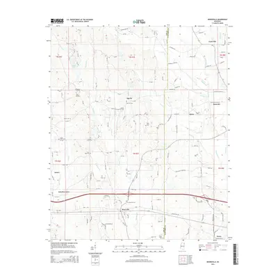
2015 Map of Mooreville
USGS Topo · Published 2015About this map
Mooreville and Mantachie anchor this rural landscape in Northeast Mississippi, where the boundary between Lee and Itawamba counties meets. The map reveals a dense network of family-named cemeteries and small crossroads settlements that define the region's social geography. Places like Eggville, Shiloh, and Auburn are connected by a web of county roads and drainage systems, including Boguefala Creek and Mantachie Creek.
Find a feature on this map
138 named features on this map. Tap any name to fly to it.
Don’t see what you’re looking for? This feature index may not catch every label — zoom into the map to look around manually.
Map Details
Editions of this 2015 Mooreville Map
This is the sole edition of this map. No revisions or reprints were ever made.
Other maps of this area

1921 · Tupelo
USGS Topo · 1:48,000

1923 · Tupelo
USGS Topo · 1:62,500

1956 · Tupelo
USGS Topo · 1:250,000

1958 · Tupelo
USGS Topo · 1:250,000

1965 · Mooreville
USGS Topo · 1:24,000

1965 · Fulton
USGS Topo · 1:24,000

1965 · Kirkville
USGS Topo · 1:24,000

1966 · Beans Ferry
USGS Topo · 1:24,000

1966 · Evergreen
USGS Topo · 1:24,000

1966 · Verona
USGS Topo · 1:24,000