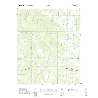
2018 Map of Mooreville
USGS Topo · Published 2018About this map
Mooreville and Mantachie anchor this 2018 survey of the borderlands between Lee and Itawamba Counties. The landscape is defined by the winding drainages of Boguefala Cr and Mantachie Cr, which cut through a region of scattered family settlements and small agricultural clearings like Lamb's Field. For genealogists, the map is remarkably dense with burial sites, many bearing family names such as the Sandlin Family Cem, Baldwin Family Cem, and Pound Family Cem. Religious history is preserved in the dual locations of New Spring Hill Ch and Old Spring Hill Ch near the western boundary. The settlement pattern shows a shift from early crossroads like Auburn and Eggville toward more modern residential development clustered around the primary county roads, while places like Shiloh and Centerville maintain their rural character near the eastern county line.
Find a feature on this map
135 named features on this map. Tap any name to fly to it.
Don’t see what you’re looking for? This feature index may not catch every label — zoom into the map to look around manually.
Map Details
Editions of this 2018 Mooreville Map
This is the sole edition of this map. No revisions or reprints were ever made.
Other maps of this area

1921 · Tupelo
USGS Topo · 1:48,000

1923 · Tupelo
USGS Topo · 1:62,500

1956 · Tupelo
USGS Topo · 1:250,000

1958 · Tupelo
USGS Topo · 1:250,000

1965 · Mooreville
USGS Topo · 1:24,000

1965 · Fulton
USGS Topo · 1:24,000

1965 · Kirkville
USGS Topo · 1:24,000

1966 · Beans Ferry
USGS Topo · 1:24,000

1966 · Evergreen
USGS Topo · 1:24,000

1966 · Verona
USGS Topo · 1:24,000