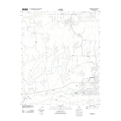
2012 Map of Moorpark
USGS Topo · Published 2012About this map
Moorpark serves as the primary urban center in this southern Ventura County landscape, where modern residential development meets a tradition of sprawling ranch land. To the north, the Santa Clara River flows near the historic community of Bardsdale, a pocket of settlement anchored by the Bardsdale Cem and adjacent to the Elkins Ranch Golf Course. The terrain is defined by dramatic geological features such as Grimes Canyon and Balcom Canyon, which separate the northern river valley from the expansive Las Posas Hills.
Find a feature on this map
100 named features on this map. Tap any name to fly to it.
Don’t see what you’re looking for? This feature index may not catch every label — zoom into the map to look around manually.
Map Details
Editions of this 2012 Moorpark Map
This is the sole edition of this map. No revisions or reprints were ever made.
Other maps of this area

1900 · Triunfo Pass
USGS Topo · 1:62,500

1900 · Piru
USGS Topo · 1:62,500

1903 · Santa Paula
USGS Topo · 1:62,500

1903 · Camulos
USGS Topo · 1:125,000

1904 · Hueneme
USGS Topo · 1:62,500

1921 · Piru
USGS Topo · 1:62,500

1921 · Triunfo Pass
USGS Topo · 1:62,500

1941 · Piru
USGS Topo · 1:62,500

1942 · Santa Paula
USGS Topo · 1:62,500

1942 · Hueneme
USGS Topo · 1:62,500