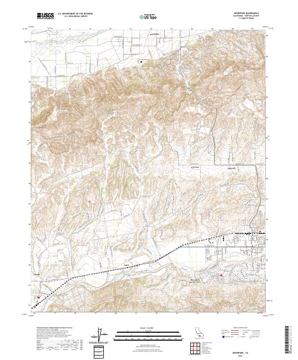
2022 Map of Moorpark
USGS Topo · Published 2022About this map
Oak Ridge and the South Mountain massif dominate the northern landscape of this Ventura County study, where the valley floors are defined by the Santa Clara River and the winding Arroyo Simi. Modern settlement patterns are visible in the residential pockets of Moorpark Home Acres and the rural agricultural community of Bardsdale. The map illustrates the region's diverse economic history, from the San Marino Oil Company operations tucked into the hills to the orchard-lined roads surrounding Somis.
Find a feature on this map
144 named features on this map. Tap any name to fly to it.
Don’t see what you’re looking for? This feature index may not catch every label — zoom into the map to look around manually.
Map Details
Editions of this 2022 Moorpark Map
This is the sole edition of this map. No revisions or reprints were ever made.
Other maps of this area

1900 · Triunfo Pass
USGS Topo · 1:62,500

1900 · Piru
USGS Topo · 1:62,500

1903 · Santa Paula
USGS Topo · 1:62,500

1903 · Camulos
USGS Topo · 1:125,000

1904 · Hueneme
USGS Topo · 1:62,500

1921 · Piru
USGS Topo · 1:62,500

1921 · Triunfo Pass
USGS Topo · 1:62,500

1941 · Piru
USGS Topo · 1:62,500

1942 · Santa Paula
USGS Topo · 1:62,500

1942 · Hueneme
USGS Topo · 1:62,500